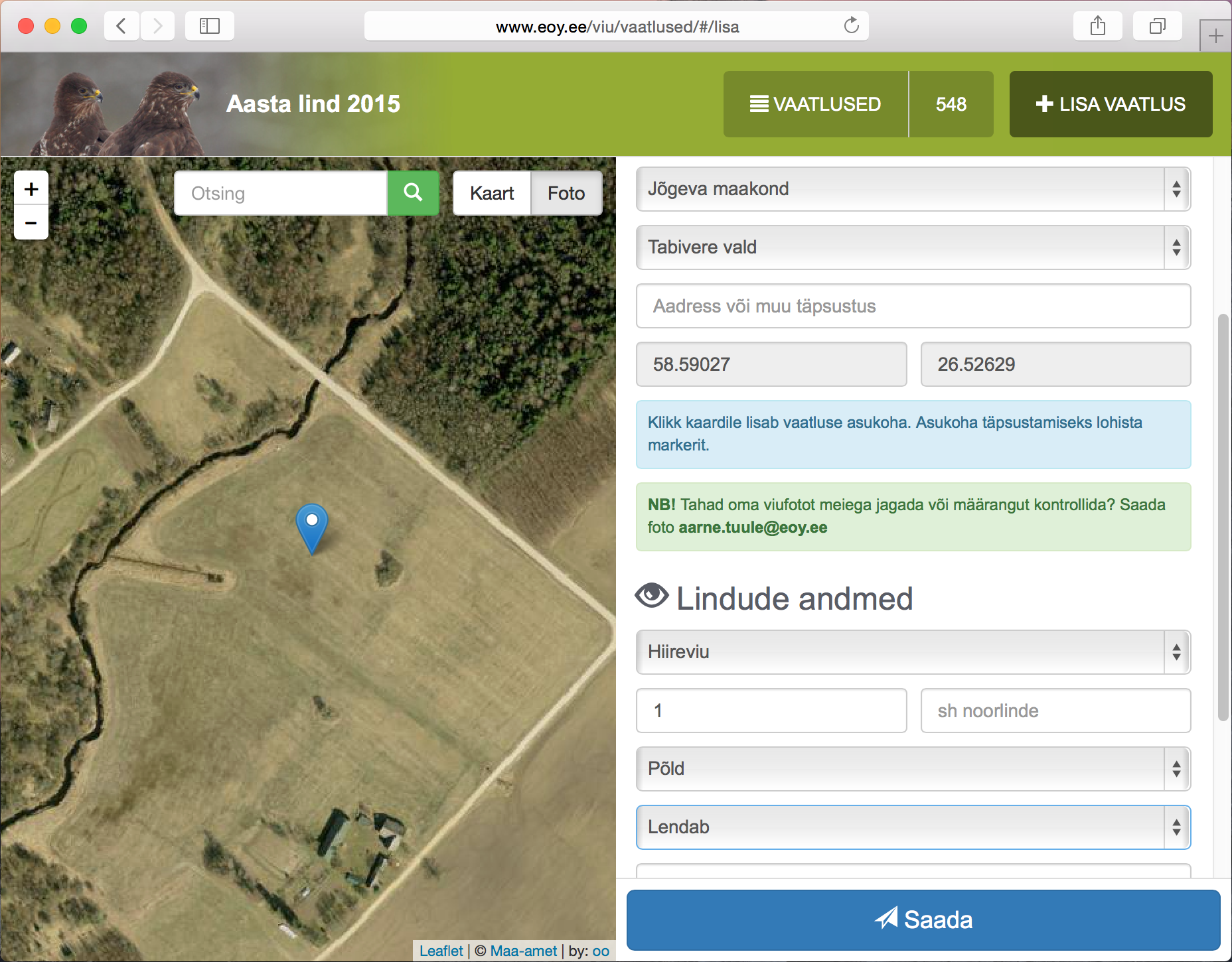
GIS solution for collecting and displaying sightings results for several Estonian Ornithological Society projects. Each project have it's own small HTML5/CSS3/JS application with Leaflet map. Data saving and publishing is done by GeoForms API server.
Live example: Bird of the year 2017
Read more about project (estonian): Geoforms in Estonian Ornithological Society
Find out more about Geoforms
Mihkel Oviir:2015-08-01
